Thomas Spring (Jefferson)
Thomas Spring (Jefferson)
Overview
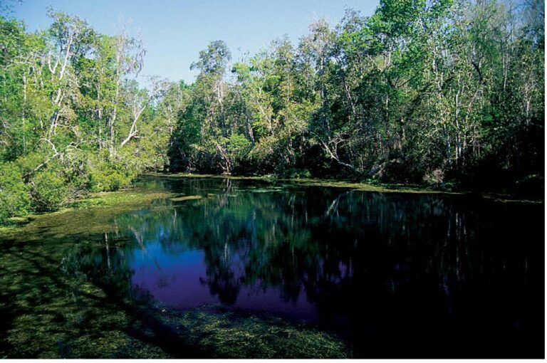
Thomas Spring is a second-magnitude spring in Jefferson County, Florida, and one of the many named springs that make up the Wacissa Springs Group. Located along the Wacissa River near Wacissa Springs County Park, the spring adds to the numerous that individual vents collectively create the clear, fast-flowing waters of the area.
Description
Thomas Spring discharges from a fracture in the bottom of the riverbed and is characterized by two distinct spring boils. Surveys conducted by the Suwannee River Water Management District reported a maximum depth of approximately 17 feet and an estimated discharge of about 30 cubic feet per second, classifying it as a second-magnitude spring.
The spring lies within the Wacissa River itself rather than forming a separate spring run. Hydrilla has been documented in the surrounding riverbed, and the spring’s flow contributes directly to the clear waters of the Wacissa River.
Location and Setting
Thomas Spring is located within the Wacissa Springs Group in Jefferson County, Florida. Historical surveys place the spring approximately 375 feet southwest of the public swimming and diving platform at present-day Wacissa Springs County Park and roughly 360 feet downstream from nearby Log Spring.
Today, the county park serves as the primary public access point to this section of the river. Visitors launching kayaks, canoes, or paddleboards from the park often pass near several named springs within the Wacissa system, including Thomas Spring.
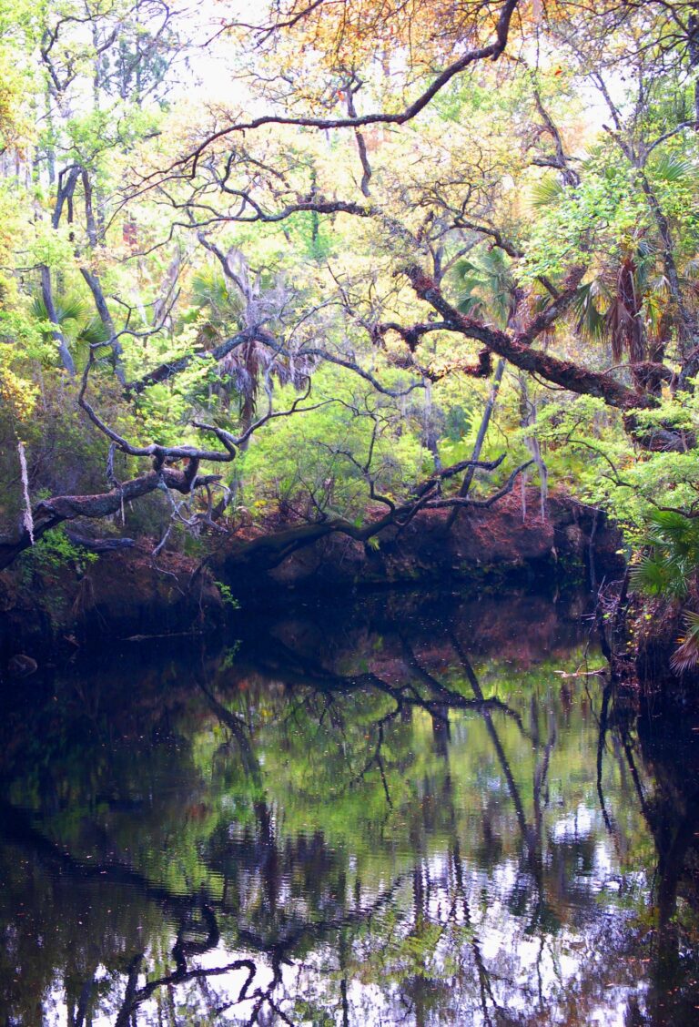
The surrounding landscape consists of spring-fed waterways, cypress-lined banks, and wetlands that form part of the larger Aucilla watershed.
The Wacissa Springs Group
Thomas Spring is one of numerous named vents within the Wacissa Springs Group, a remarkable cluster of springs that collectively feed the Wacissa River. The group includes well-known springs such as Wacissa Spring, Log Spring, Big Blue Spring, and Aucilla Spring, along with many smaller vents scattered throughout the river corridor.
More Resources
- USGS Monitoring Location
- Wacissa.com – Wacissa River Springs
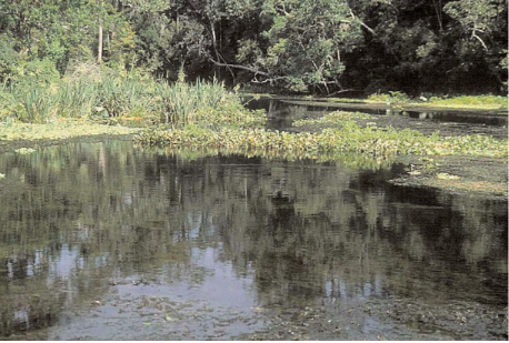
Photo: Florida Geological Survey, Bulletin No. 66
Sorry, no records were found. Please adjust your search criteria and try again.
Sorry, unable to load the Maps API.
Nearby Springs